Visiting R 154 29
This post is part of a bigger trip I made through Scandinavia with focus on Norway.
Imagine different weather
On my way find a place for the night I came across Kaunispää, my first fell (without even noticing it). A fell is a high and barren landscape. During snow season it seems to be a very nice place for skiing.
When I came the weather was just about to change. In one direction you could already see the rain coming. In the other direction there was still a semblance of good weather. One could imagine how awesome the view would be when the weather would have been better.
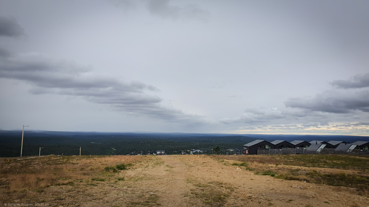
The area with the closed ski lifts and the deserted apartments (again having big windows in the roof for the northern lights) made it look somehow unreal. Almost like a lost place. How beautiful it would be in the winter.

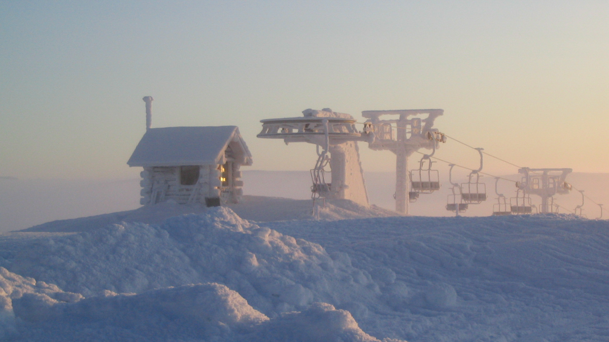
Birit Schenk (Birit), CC BY-SA 3.0 http://creativecommons.org/licenses/by-sa/3.0/, via Wikimedia Commons
Well, all that I had at this point was a lot of wind and rain to come. Not the best condition for a nice stay. However, in the summer and with different weather it must be a great place to go for a hike.
Imagine triangles
You are already at the top of a mountain like area and the view is stunning.
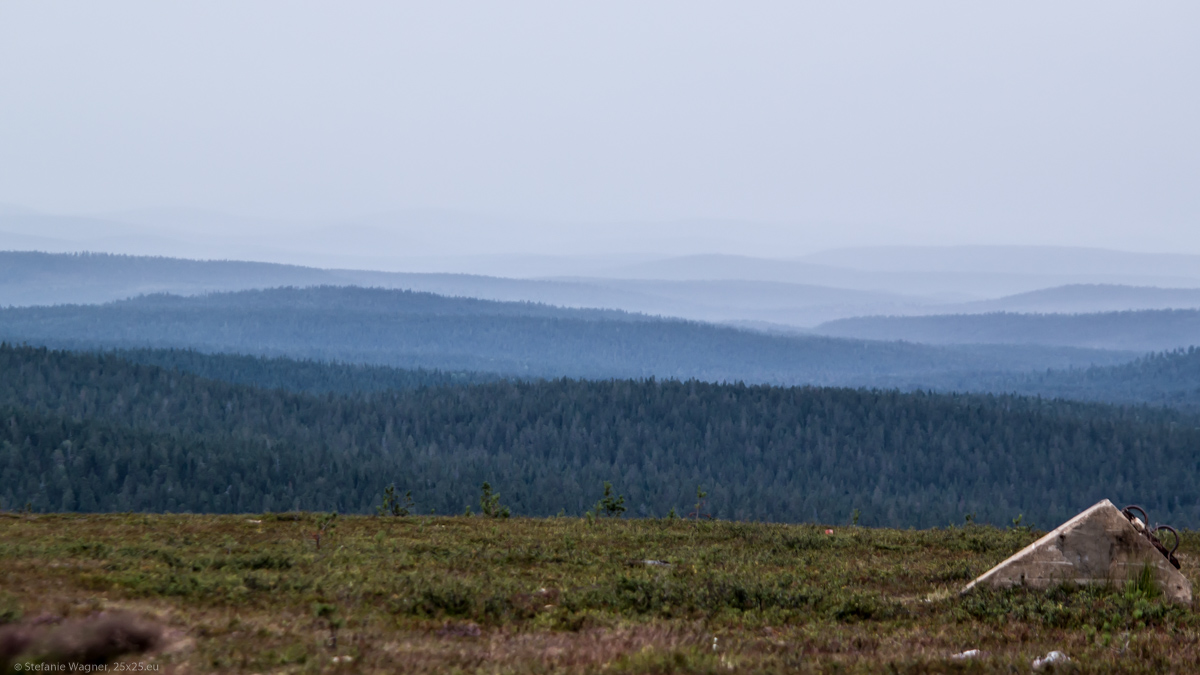
And then you see a small wooden lookout. That seems a little odd. Why would you need something like this here?
Reason is that this used to be a triangulation point for a triangulation network. Those helped to create maps of the country. When you try to measure a distance it can get quite complicated depending on the terrain. Measuring angles can be easier. In this case all you need is one line of a triangle with a known length. And from here you go and get a mesh of triangles. The tower here was one of the corners of such triangles that spread all across the country.
I always wondered how people were able to create accurate maps if they were not able to look at the land from above. Now I knew.
The original tower is gone. It was not needed any longer as satellites took over and it started to decay. This new lookout was built as a memorial in 2011.
Some travel tips (from 2021)
- There is a restaurant/café on top of the mountain that you can have a bite in case you stay around longer.
- In the summer when there is not much going on it seems to be ok to stay here overnight. Just don’t park directly in front of the restaurant. I didn’t stay due to the wind and weather, so I can’t say anything about how it would be. I assume it must have been a really nice view as in the evening I had a stunning sunset nearby (but the weather got very bad at night night, so still happy that I left).
